
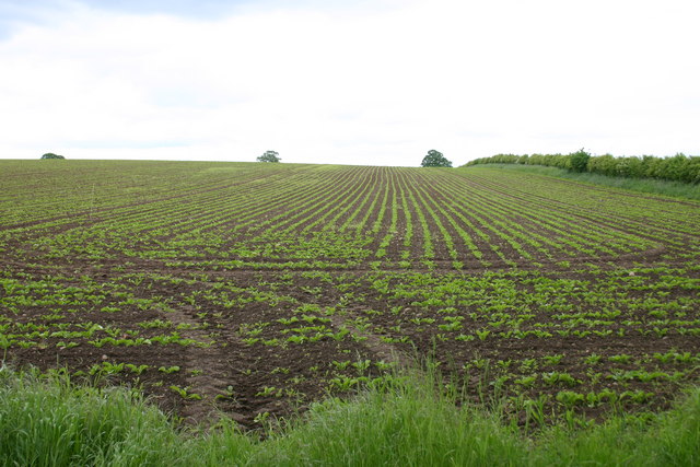
I really doubt that it looks anything like that. Chechnya isn't Africa where there's a water shortage so there's no need for such ditches for water. It's just simple fields with not much around them. You can even load up Grozny in google maps and look around and there are no such ditches visible, it's just fields with roads around them. Roads are almost all the time elevated, sometimes up to 2 and more meters if it's near a lake or a river that gets flooded after every winter. If anything, Mrslobodan did it correct with a small hill around, add a few bushes and lone trees and should be good imo.Pvt.LHeureux wrote:Yeah it's the other way around
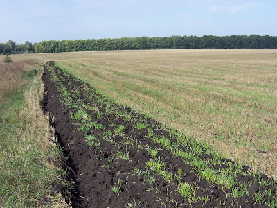
They make that to make water flow through the fields.

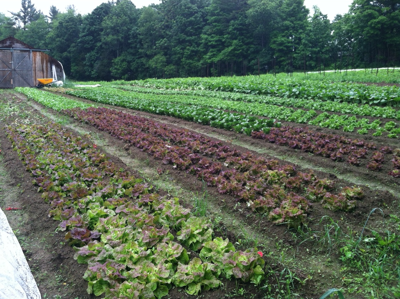
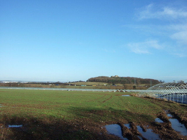
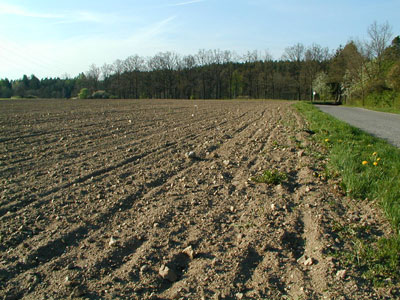
There aren't many pictures of how they look but these might give a better idea.
http://evencolderthanbefore.files.wordp ... =450&h=337
http://farm2.staticflickr.com/1002/1303 ... 4155f7.jpg
http://1.bp.blogspot.com/-BOFXzofyCCU/T ... +after.JPG
http://4.bp.blogspot.com/_EZMGVwURo3M/S ... 702135.jpg
http://ideas4sustainability.files.wordp ... lvania.jpg
http://s0.geograph.org.uk/geophotos/01/ ... f3f598.jpg
http://img.radio.cz/pictures/r/zemedelstvi/pole2.jpg
http://2.bp.blogspot.com/-YkLHEzRiycQ/U ... 179080.jpg
http://cdn2.vtourist.com/15/6452508-Mil ... onetsk.jpg
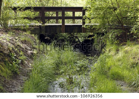
Also if you want to break the flat landscape, add one or two very small rivers, they are usually completely covered in grass, bushes and trees and have small footbridges over them, just like in the pictures. Most of the time they are narrow enough to simply jump over and you can reach the bottom while standing in one. And there's rarerly any rocks in them.
http://3.bp.blogspot.com/_EhTXU7jVPa8/T ... G_0088.JPG
http://www.colourbox.com/preview/215285 ... dy-sky.jpg
http://image.shutterstock.com/display_p ... 926356.jpg
http://media.snimka.bg/6792/019838920.jpg


